Five Ways to use SWAT MAPS in Cotton
Thursday, August 8, 2024 11:09 AM
Reading Time: 3 minutes

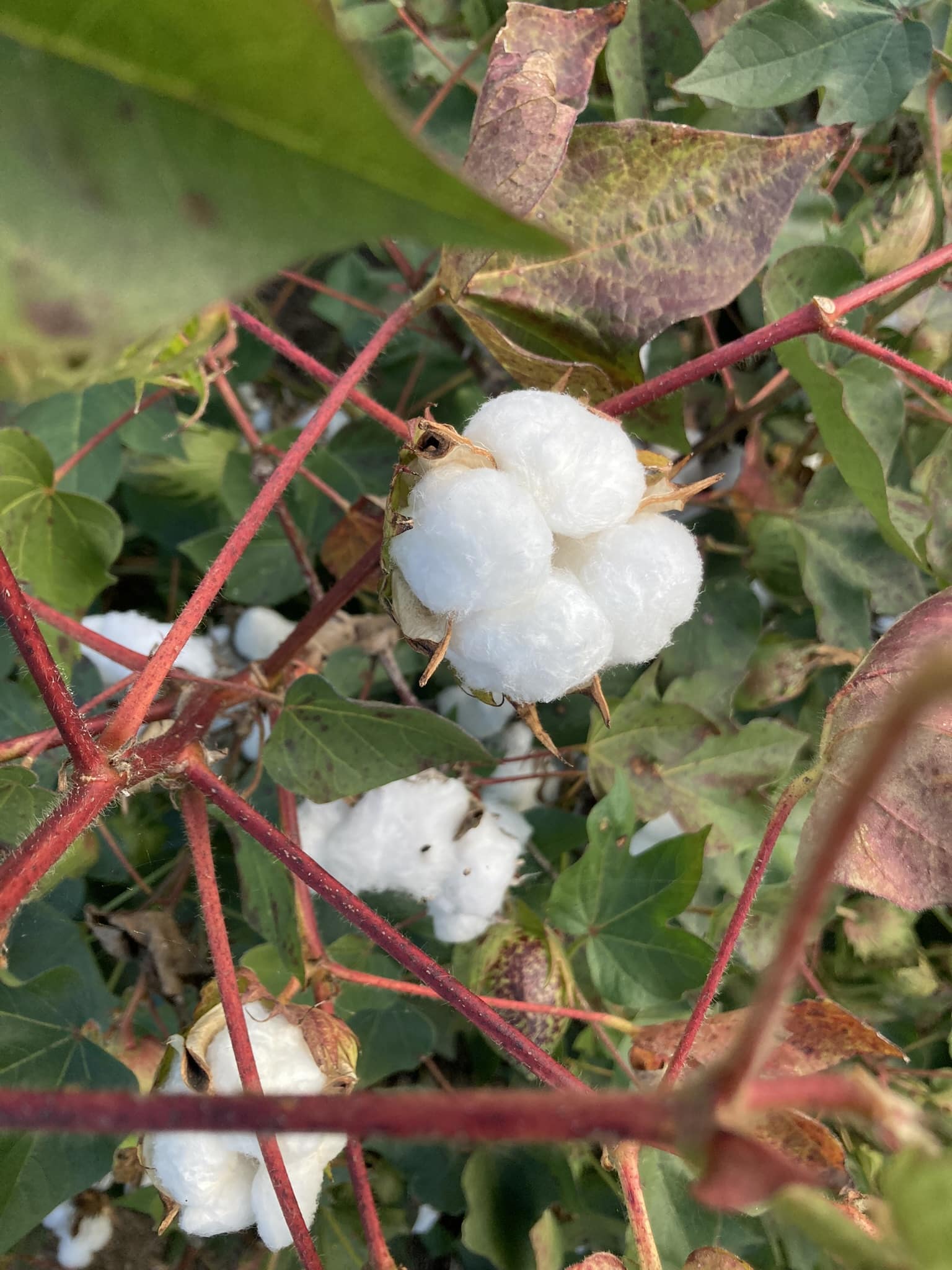
Cotton area in the US and Australia does not make up a large percent of seeded area, but it is a very important economic pillar for the farms that grow it. Irrigated cotton is relatively high input, often requiring multiple input passes. These high management crops can typically benefit more broadly from precision ag data such as SWAT MAPS. Here are five ways to help manage cotton with the SWAT ECOSYSTEM:
- Soil amelioration. Sodicity is common in cotton growing valleys of Australia and SWAT MAPS are a very effective tool for delineating levels of exchangeable sodium (Na) that cause problems with seedling mortality, water and nutrient utilization, and waterlogging. Variable rate gypsum is a common use case of SWAT MAPS to help address these areas without over-spending in areas of the field that don’t benefit.
- Variable rate seed. Available water is the largest factor in population targets – the more water is available (or predicted to be available), the higher the population density can be supported. In areas with variable soil types or water availability it can be worthwhile reducing populations in areas that won’t support it, or pushing higher populations in areas that will. This may also help proactively even out the vegetative growth rate and reduce the need to manage it with mepiquat chloride mid-season. If you have areas with problem soils (such as crusting due to sodicity) and high seedling mortality, then increasing the population to offset that mortality might make sense as well – not just to increase yield but to compete with weeds that have increasing herbicide resistance issues.
- Variable rate phosphorus and zinc. Phosphate and zinc availability in the soil is often linked due to factors like pH, erosion, topsoil depth, and land-forming history. In flood irrigation systems, it’s often the ‘cut’ areas that need large rates of P & Zn to overcome deficiencies. In fields with topography, it’s not uncommon to see these nutrients move with water and soil particles from upper to lower landscape positions, especially if there’s been historical erosion. Either way, delineating different areas of a field with higher or lower levels can have a large impact on the return on investment with these nutrients.
- Variable rate nitrogen. Cotton is a big nitrogen user so there is no question that if an opportunity to variable rate it exists, it is worth taking advantage of. Field history and NDVI imagery from when it last grew cotton can be useful for proactive management, but that information along with the soil data from SWAT MAPS is even better, since mineralization and losses of nitrogen will vary by SWAT zone, water availability, soil quality, and season. SWAT MAPS help tell us why there’s poor growth – because it isn’t always a lack of nitrogen!
- Irrigation management. I’ve experienced firsthand the damage of basing irrigation schedules off poorly placed soil moisture probes. For irrigated cotton, water is a significant production expense and it’s important to get it right. Simply using the SWAT MAP to guide moisture probe placement is a useful tool as it gives you a relative soil texture and ‘water potential’ benchmark compared to the rest of the field. If you have a VRI system in place you can take it one step further and adjust irrigation requirements by SWAT zone, supported by current NDVI imagery and soil moisture data. The bottom line is the SWAT MAP should tell you where it’s relatively wet and relatively dry – what you do with that information will vary by farm.
While this is not an exhaustive list, it gives some insight into ways you can use good quality soil, water, and topography data to make high resolution management decisions. Plant populations, water, and nutrition are all interrelated, but the first step is always knowing your soil potential with SWAT MAPS.
Join Our Mailing List
Enter your email below to sign up for our mailing list.
We care about the protection of your data. We’ll never share your details.
Croptimistic Technology Inc. is an international agriculture technology (AgTech) company. We began operating in 2018. Croptimistic is supported by a growing team of professionals who have dedicated their careers to developing the best soil mapping software and hardware in the world.
Copyright Croptimistic Technology Inc. © 2025 All Rights Reserved.
Privacy Policy


