Consultant Feature: Jason Schley - Next Level Ag

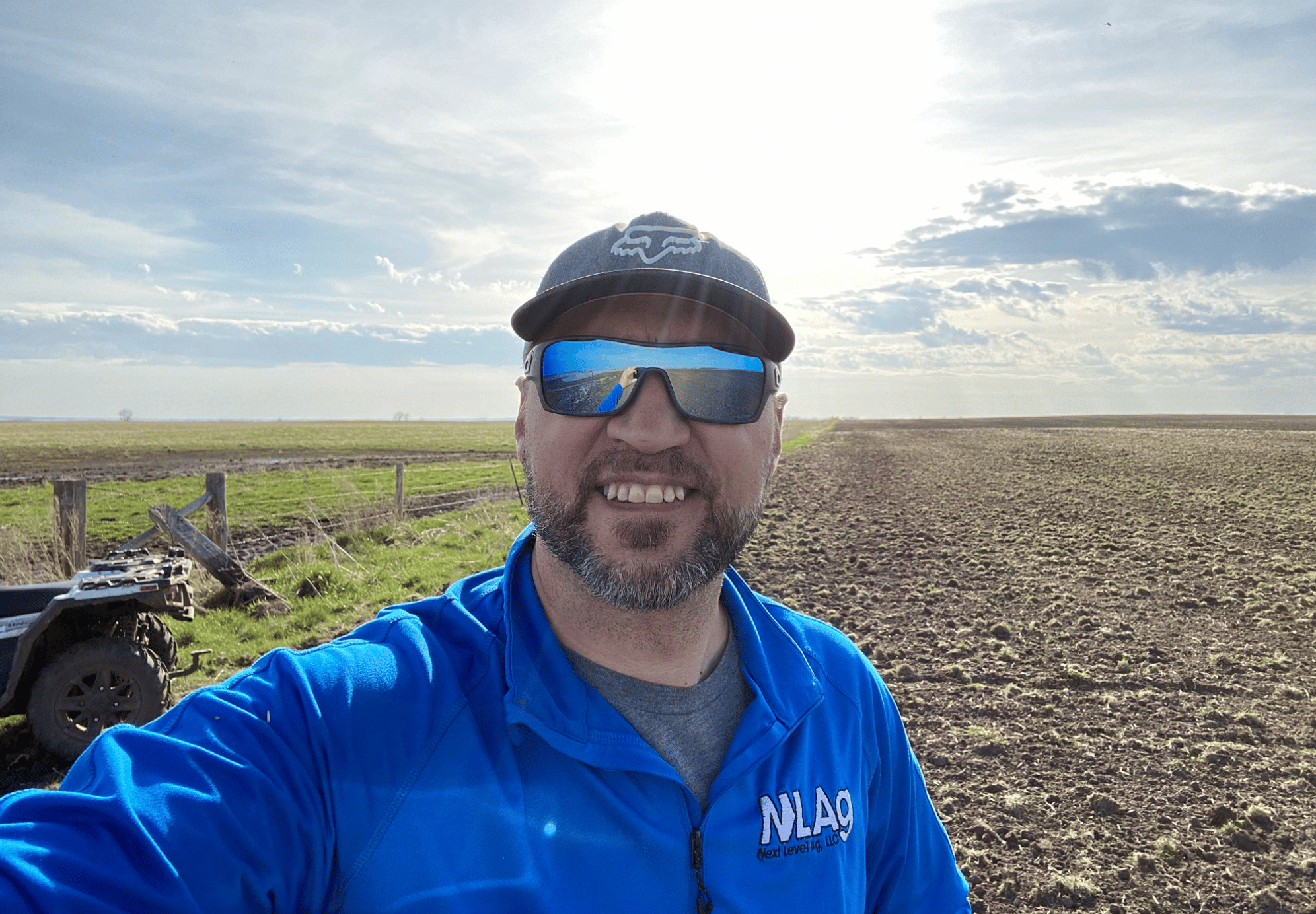
Jason Schley is a SWAT MAPS consultant based in Alpena, South Dakota. He began his consulting business in 2000 and expanded it to include a soil laboratory in 2015. NL Ag Labs provides both soil testing and variable rate services in over 30 states and provinces, with the most concentrated work in SD, ND, Nebraska, Illinois, Indiana, and Iowa. 2020 marks their fourth season providing SWAT MAPS.
“SWAT (Soil, Water, and Topography) MAPS allow us to identify strengths and weaknesses of a farm and be able to do it with one hundred percent confidence,” says Schley. “What we’re using SWAT BOX for is to soil delineate. The reason we need to do this is to understand which soils will release what for nutrients, in a ranking scale. A big thing for us to understand is water flow capacity because where the water flows, the nutrients will flow, so I would say that’s our biggest strength using SWAT BOX.”

Jordon Leighton from NL Ag Labs says one of the biggest strengths of using SWAT in conjunction with the lab is making sure likewise soils are being packaged into the same bag. “Then when we get to the testing phase, we understand our tests are completely accurate because we don’t have a light soil with a heavy soil, for example.” Building on Leighton’s comment, Schley adds, “In the lab, we put everything in a range from 1-5. A 5 is a soil that can release nutrients very well, or mineralizes very well, and a 1 is a soil that does that very poorly. When we can get our soils defined, plus understand our water movement through that system, what that gives us is a pure quality soil, so we have great confidence in the results from the lab.”
“We look at biology too - biology is driven by soil temperature, soil moisture, and pH, and the SWAT BOX helps us to determine those things. So, when we can categorize the soils before we get to the lab, it makes our information worth much more than if we were doing that in a grid or composite fashion. SWAT MAPS and our lab are the perfect pair in that way because it is necessary to map soils, but what do you do once the map is made? You need to make the grower money. And that’s where our lab fits. SWAT MAPS provides us with the soil delineation, but again, you’ve still got to make money with it, and that’s where these classifications come into play.”
SWAT MAPS have the ability to eliminate grids for a grower, asserts Schley. “When a grower is looking at soil health, biological activity or carbon storage, it’s going to match with topography and soil type - it’s not going to correspond with the grid. There is higher value made in switching to the zone system because it’s applicable. We can use SWAT MAPS to change things instantly, whereas in a grid, you’re less likely to be able to do that.”
Schley then describes SWAT MAPS as a budgeting tool: “From the minute you’re out there, you’re identifying weaknesses and strengths of a soil. When we know that times are tough in ag, we can be better at our expenditures and where we put our money. If we can find areas that are unproductive and pull the dollars out of there, we can put them in a tier 2 soil and bring it up to a tier 1. It means extra bushels without extra cost. Essentially, reorganizing your bucket of money is the best way to describe it.”
If you are a producer in SD, ND, Nebraska, Illinois, Indiana, or Iowa and are interested in soil testing or variable rate services, please contact Jason Schley at jasons@nextlevelag.com or visit nextlevelag.com.
If you are a consultant, ag retailer, or equipment dealer and are interested in becoming a SWAT MAPS partner, please contact agronomy@croprecords.com or visit swatmaps.com.


