SWAT Partner Announcement: Midplains Ag
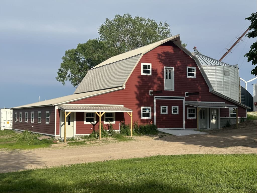
Midplains Ag, a full-service precision ag consultation and risk management group located in Northeast Nebraska, has recently joined the SWAT MAPS service provider network to offer the world’s premier soil foundation map.
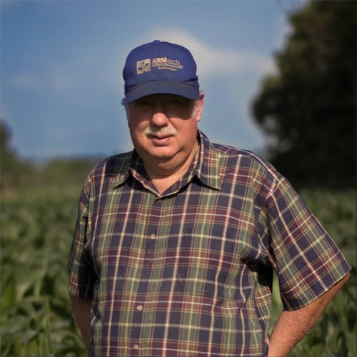
The company was founded in 1983 and has been building a network of farmers located in Antelope, Boone, Holt, Howard, Merrick, Greeley, and Wheeler Counties in Nebraska. Owner Richard Uhrenholdt believes that offering SWAT services that base management zones on soils and topography is the right approach that will allow clients to invest in a long-term plan for soil health.

“We understand the issues that farms face daily and we work closely with our clients to ensure we are collecting and analyzing valuable data that will greatly affect how they make decisions,” said Uhrenholdt. “Utilizing the SWAT ECOSYSTEM will allow us to confidently recommend the next best steps based on what we see happening in the soil.”
The SWAT service offerings will be an addition to Midplains Ag current full spectrum precision ag offerings that include drone aerial imagery, crop spraying, cover cropping, scouting, soil and crop analysis, irrigation analysis, and yield data.
Join us in welcoming Midplains Ag to our elite network of SWAT MAPS Service Providers by visiting their website and following them on social media:
Website - https://midplainsag.com/
Facebook - www.facebook.com/midplainsag
Richard Uhrenholdt LinkedIn - https://www.linkedin.com/in/richard-uhrenholdt-a8689772/
